Geographic Context
Understanding the boundaries and extent of the Simões Filho urban area as defined by the Global Human Settlement Layer Urban Center Database.
97,911
Population (2020)3 km²
Built-up area (2020)Defining the urban area
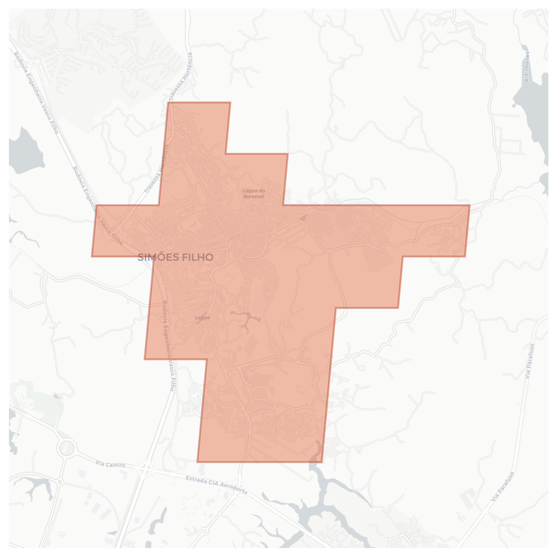
In this context, Simões Filho refers to the continuously built-up urban area with population density ≥ 1,500 people/km², independent of administrative boundaries. We use the Global Human Settlement Layer Urban Center Database (GHS-UCDB) to define boundaries. See the corresponding area shaded below.
Urban extent map
Administrative context
- Country
- Brazil
- Region
- Bahia
- City
- Simões Filho
Data sources
GHS-UCDB R2024A
Global Human Settlement Layer Urban Centre Database. Provides population, built-up area, and boundary definitions for urban centers worldwide.
OpenStreetMap
Street network data used to compute the Street Network Disconnectedness Index (SNDi).
Why use urban centers?
Using consistently defined urban center boundaries allows meaningful comparison across cities and countries, regardless of how local administrative boundaries are drawn. This means Simões Filho can be compared to any other city in the world on equal terms.